Full HD 1080p 60fps80 secondsMay 10, 2026Official HorizonX Video
Cadastral Surveying and Existing-Condition Mapping in Vietnam
Precision site surveys using Leica Disto 3D laser measurement with under 1mm tolerance, producing technical drawings for title issuance and building completion.
Engineering & Legal Consultation
Need this solution deployed for your real estate project?
HorizonX licensed engineers and real estate attorneys are on standby for on-site field surveys.
Key Strategic Advantages
- Rapid turnaround of validated drawings within 24 to 48 hours.
- Fully certified by authorized survey engineers and corporate seal.
- Direct coordination with local land registration offices for deed approval.
Full Narration Transcript
HorizonX integrates leading survey instrumentation, pairing Leica total stations with dual-frequency GNSS RTK receivers.
We deliver boundary boundary demarcation, verify real-world footprints against legal deeds, and resolve parcel overlaps.
All cadastral drawings comply strictly with Circular 25/2014/TT-BTNMT on the VN-2000 grid at central meridian 105°45'.
Related Videos in HorizonX Ecosystem

75s
HorizonX Urban Consulting, Legal and Turnkey Construction Ecosystem
Watch video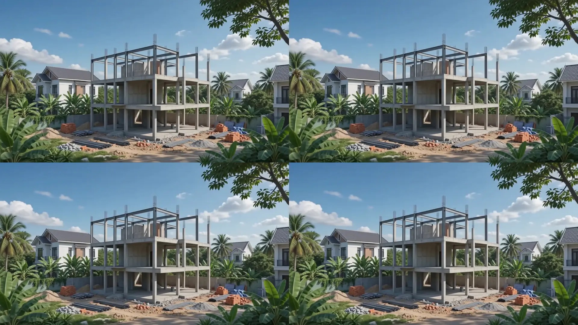
105s
Turnkey House Construction and Villa Renovation in Ho Chi Minh City
Watch video
90s
2026 Urban Planning Verification and Zoning Analysis in HCMC
Watch video
85s
Luxury Penthouse and Villa Interior Architecture in Ho Chi Minh City
Watch video
100s